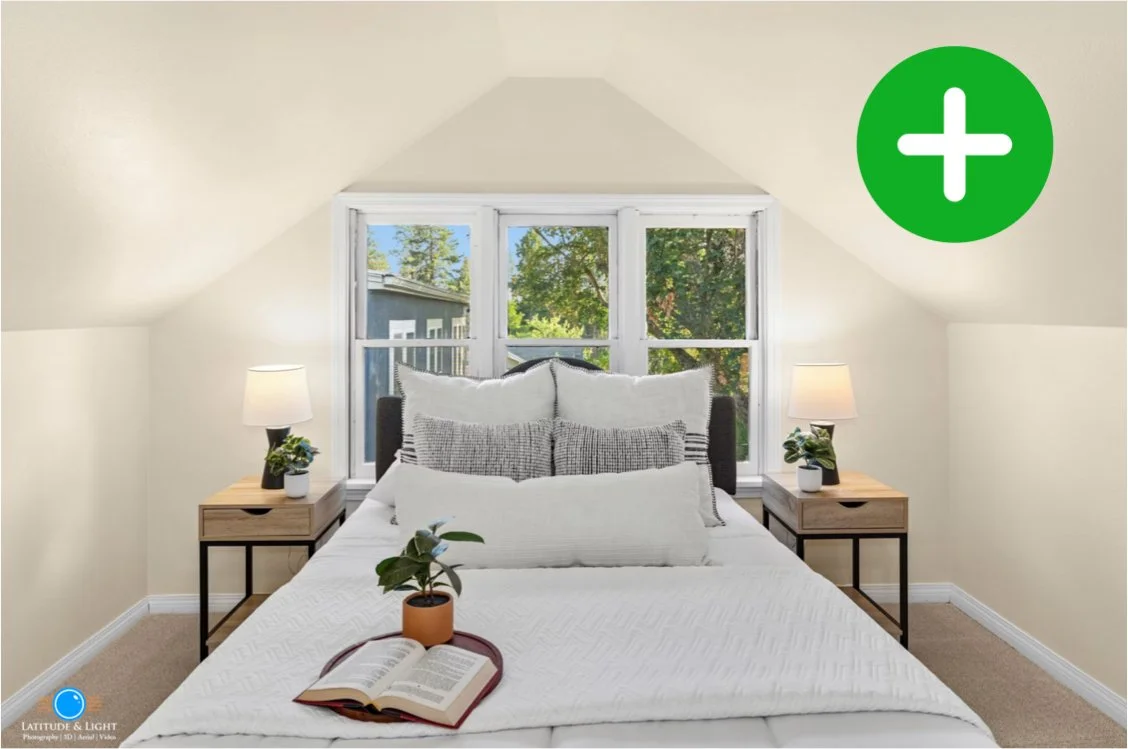
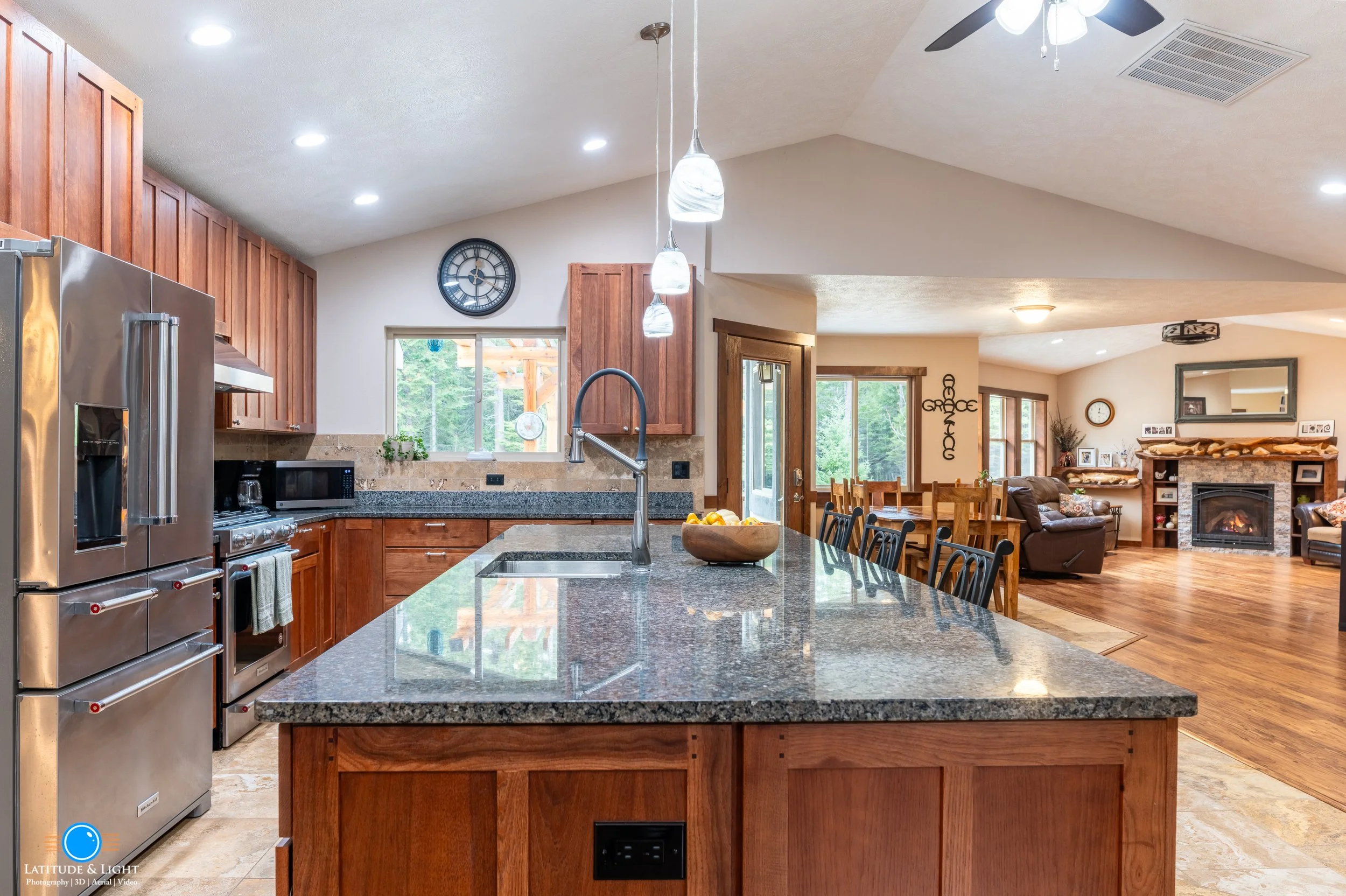
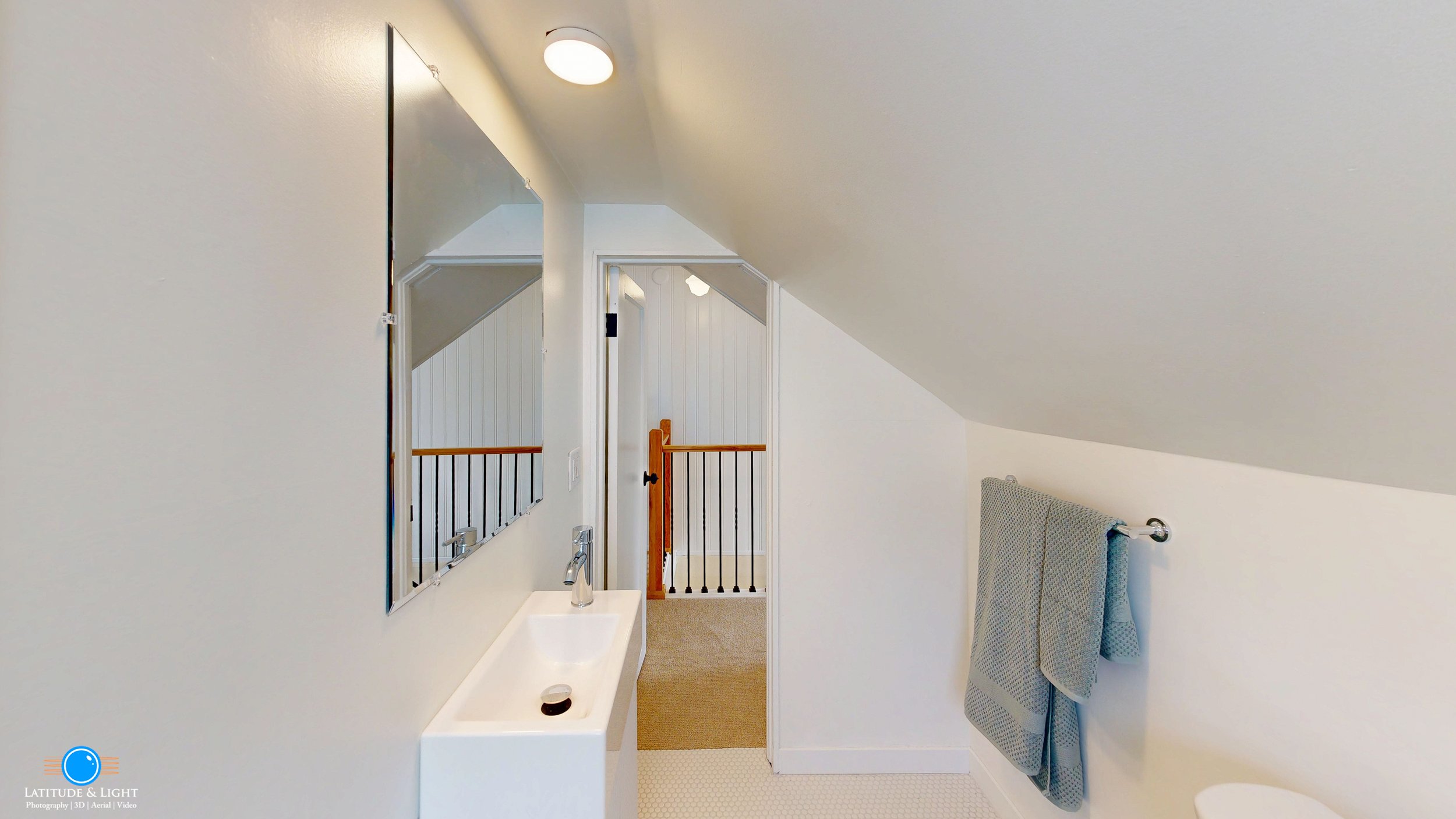
Everything in Whole Home Photography, plus:
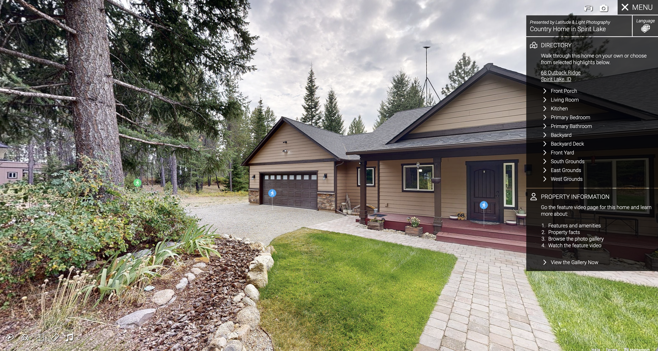
A Matterport® 3D Virtual Tour with Directory (see our Matterport Skin add-on for details). This delivers the Matterport tour as a dedicated property web site, linked to all the media and information resources you want to showcase.
Aerial photographs of the home exterior from all angles and different altitudes and territorial views
Up to a minute of edited aerial video
Social Media Reel
Whole Home Media gives you photography, video and 3D tour experiences to deploy on your online channels, and a dedicated property web site. Additional video can be produced by custom quote.
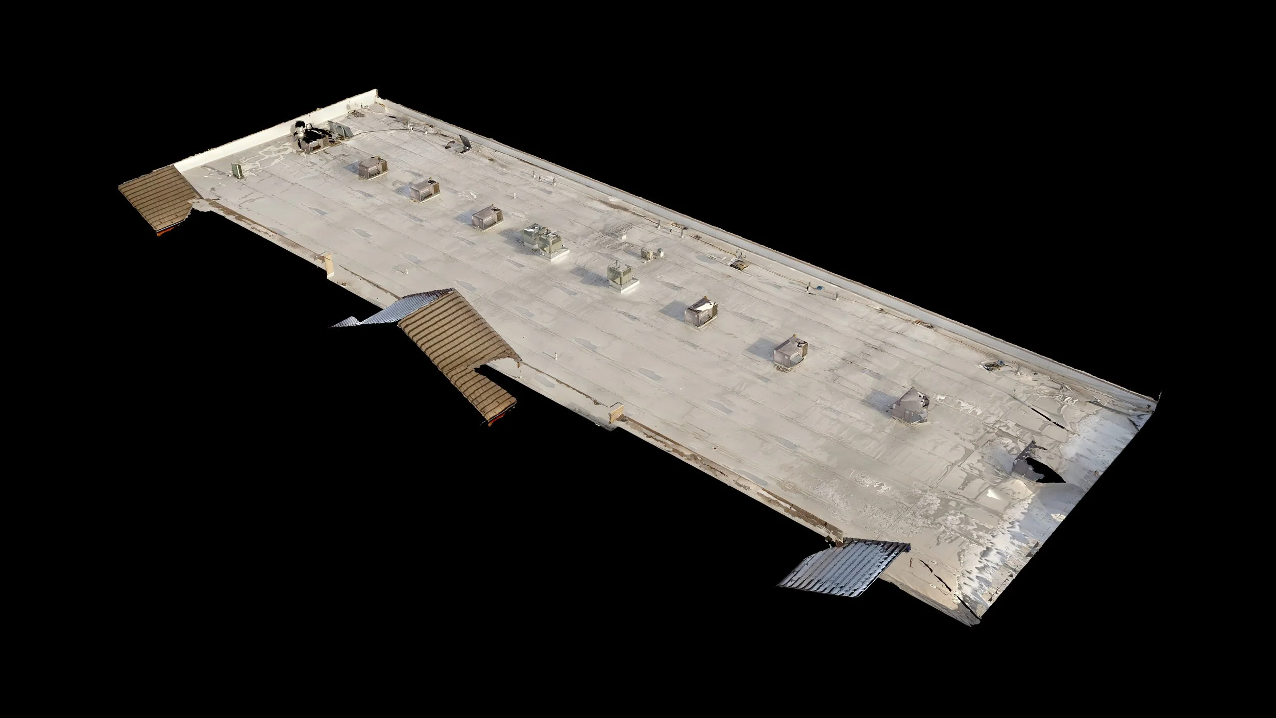
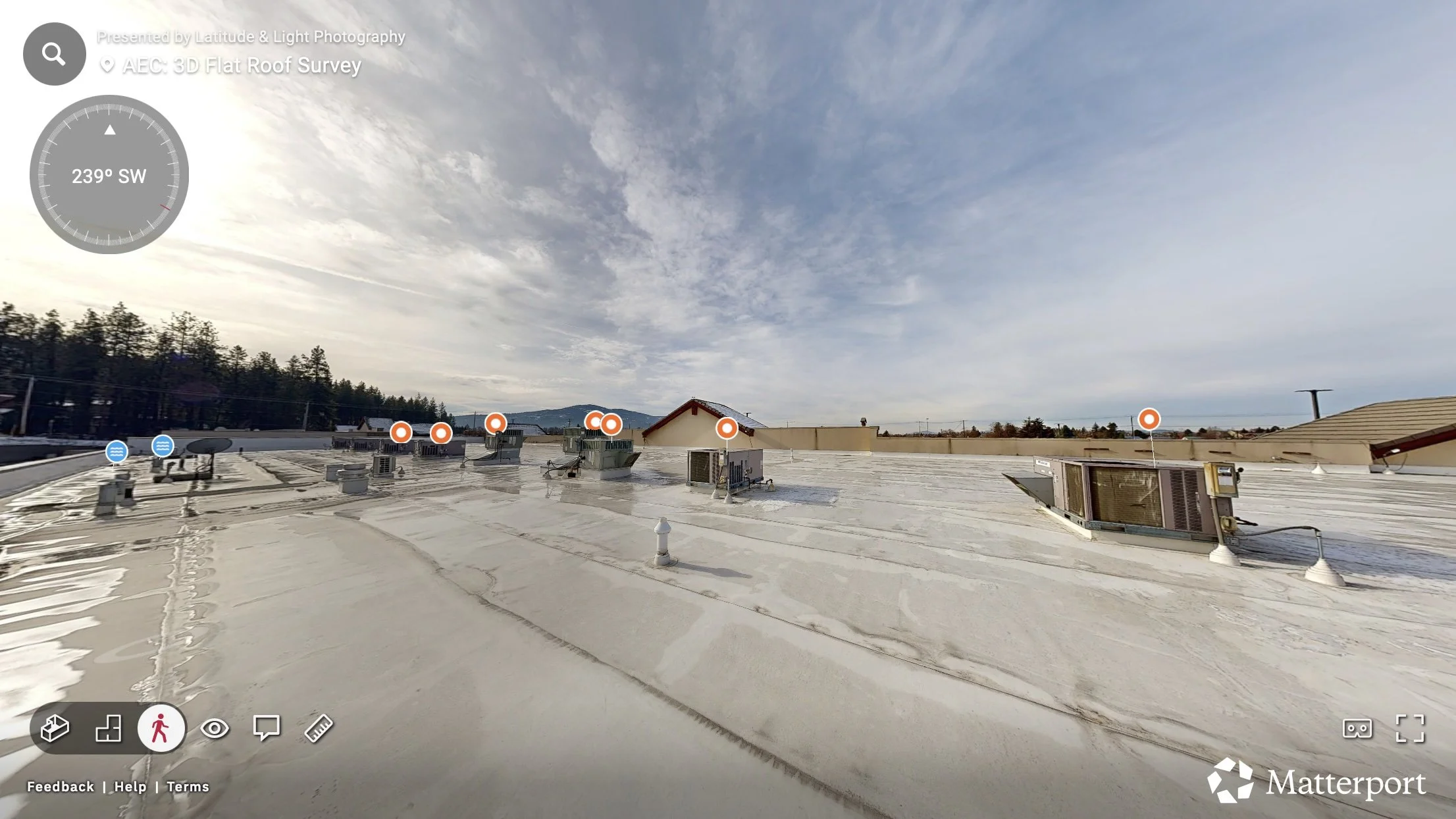
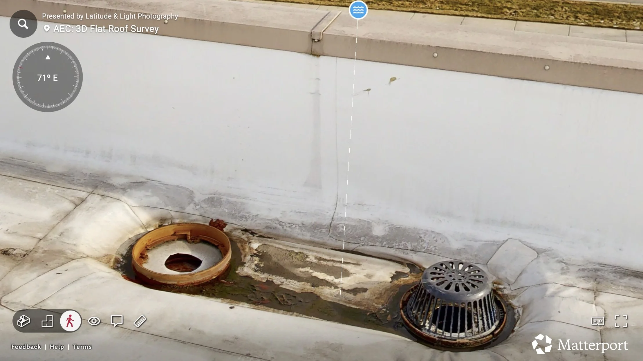
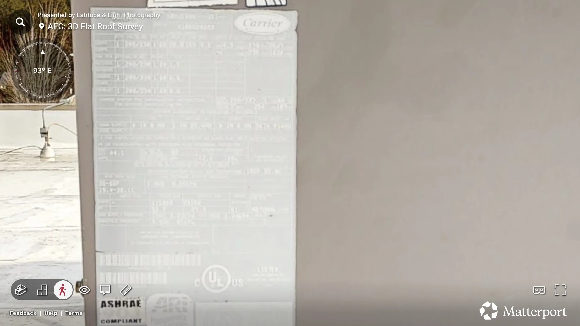
We scan a flat roof with our Matterport Pro3 LiDAR camera, producing a walkable 3D tour that allows you to study any area of the surface or RTU’s.
All RTU’s are tagged with detail photographs labels that clearly show type without magnification
Provides an authoritative view of original roof condition for roofing, electrical and HVAC contractors and building property managers.
Follow-on scans to produce before/after comparisons are available at a discount.
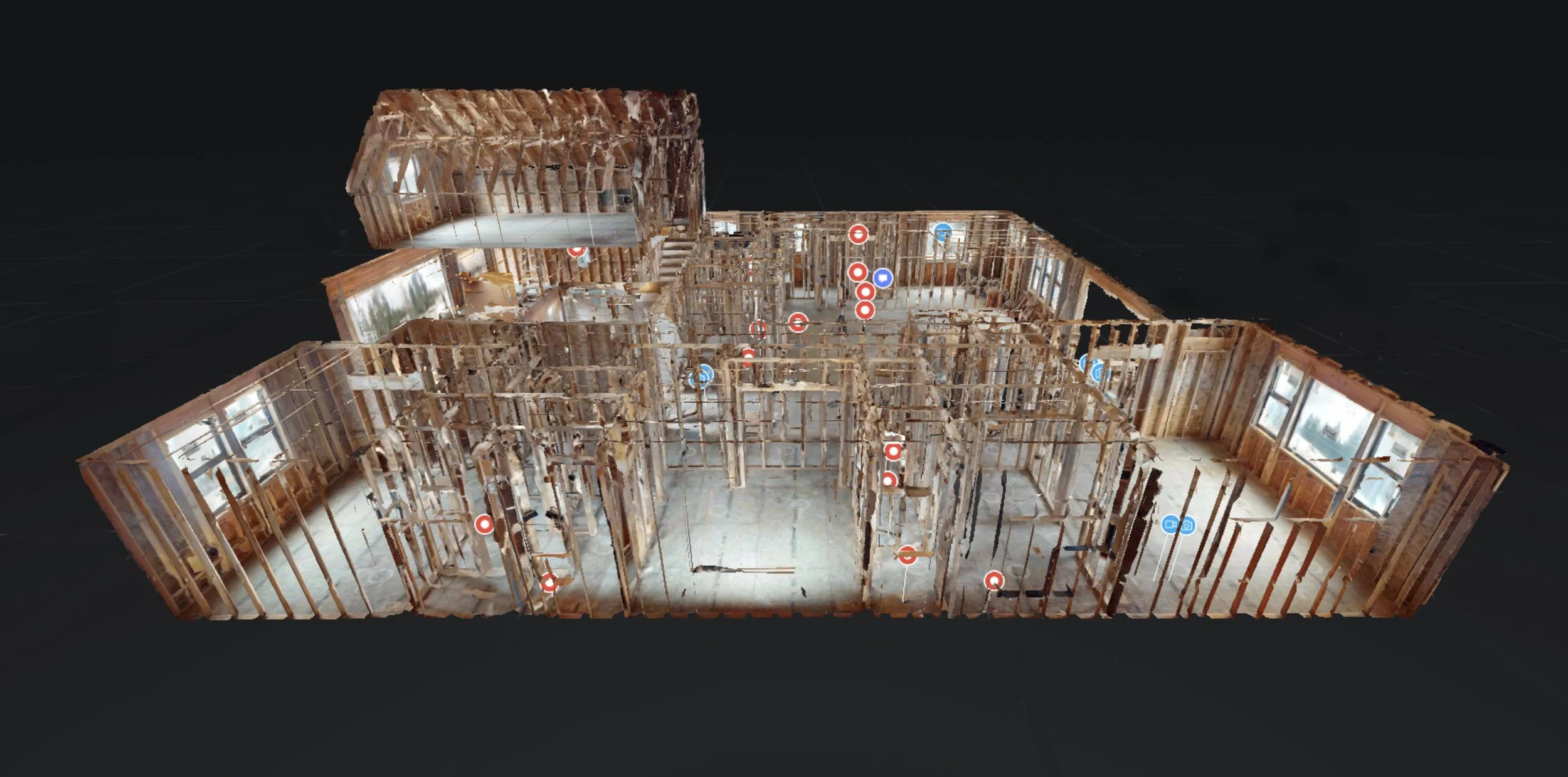
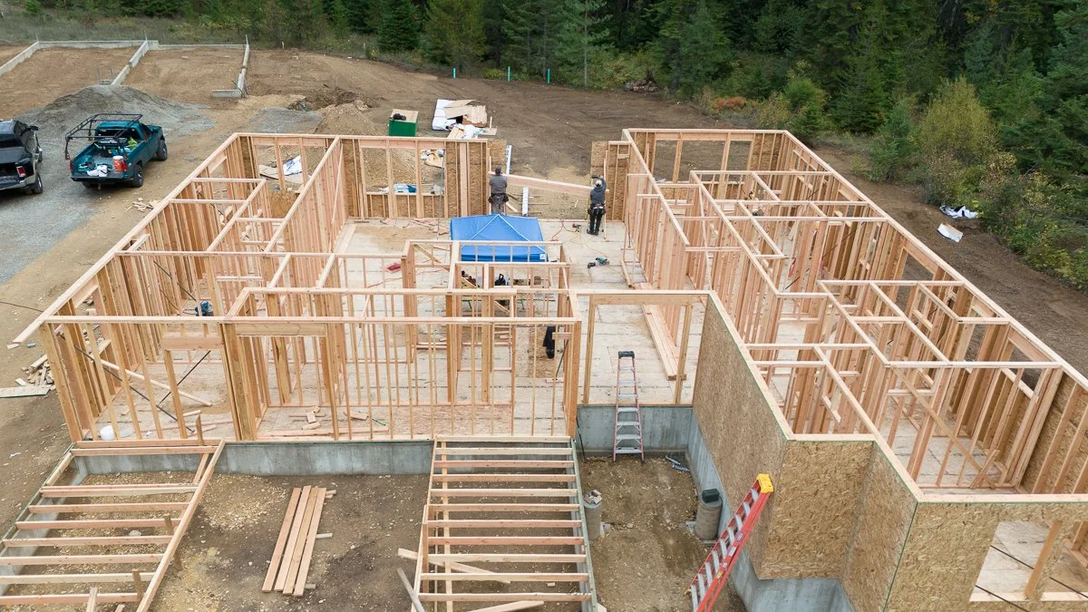
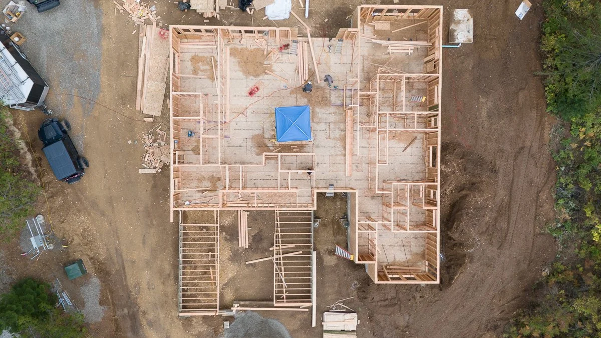
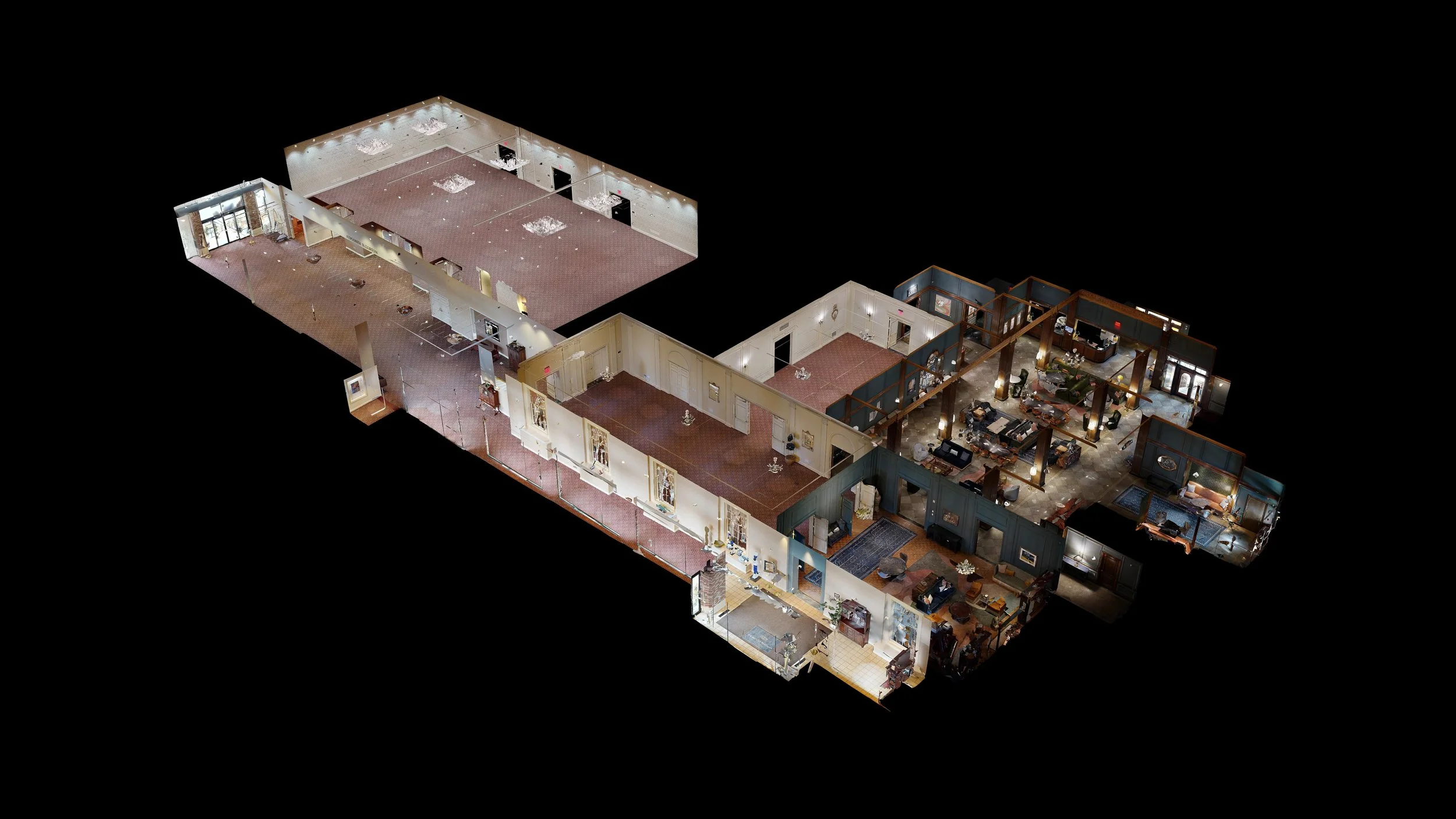
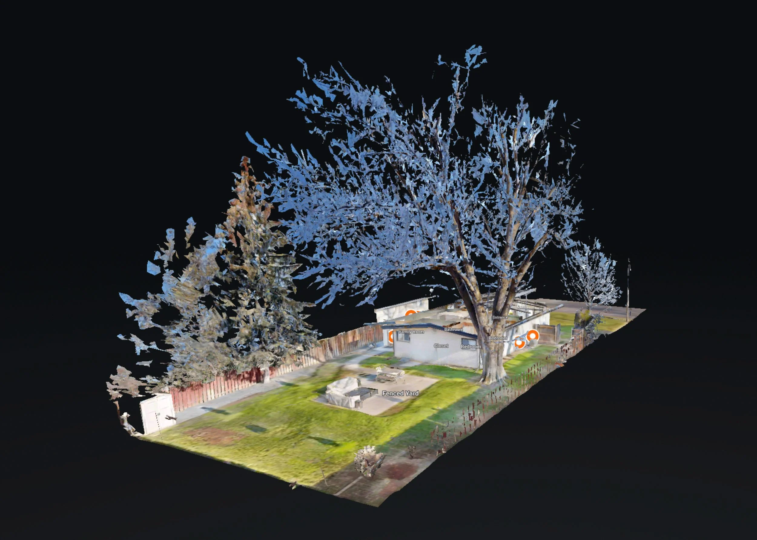
A complete 3D Matterport® scan of your job site - inside and outside the structure, providing an authoritative as-built record of construction at any project stage – pre and post rough-in:
Includes detail photos of electrical, mechanical and structural components tagged and embedded in the tour
Pre-wall cover scan provides an ongoing record of what’s behind the walls for post rough-in contractors, property managers and owners
Includes aerial video and stills of the job site and structure from all angles
Reduces tune time and effort to compile OSHA and local compliance
Shareable with all contractors and inspectors
Priced per scan up to 2,000 sq. ft., with additional charge of .20/sq. ft. thereafter. Follow-on scans for before/after views priced at 10% discount and provide complete progress documentation for the building project. Spaces over 3 floors or 10,000 sq. ft. priced by quote.
For pitched roofs, we provide wide angle and detail photography of roof areas, flashing, gutters and other fixtures, documenting roof condition, mechanical defects. Follow-on surveys can document before/after condition, providing a record of the project.
Priced between $200 and $300 for residential homes depending on complexity and features.
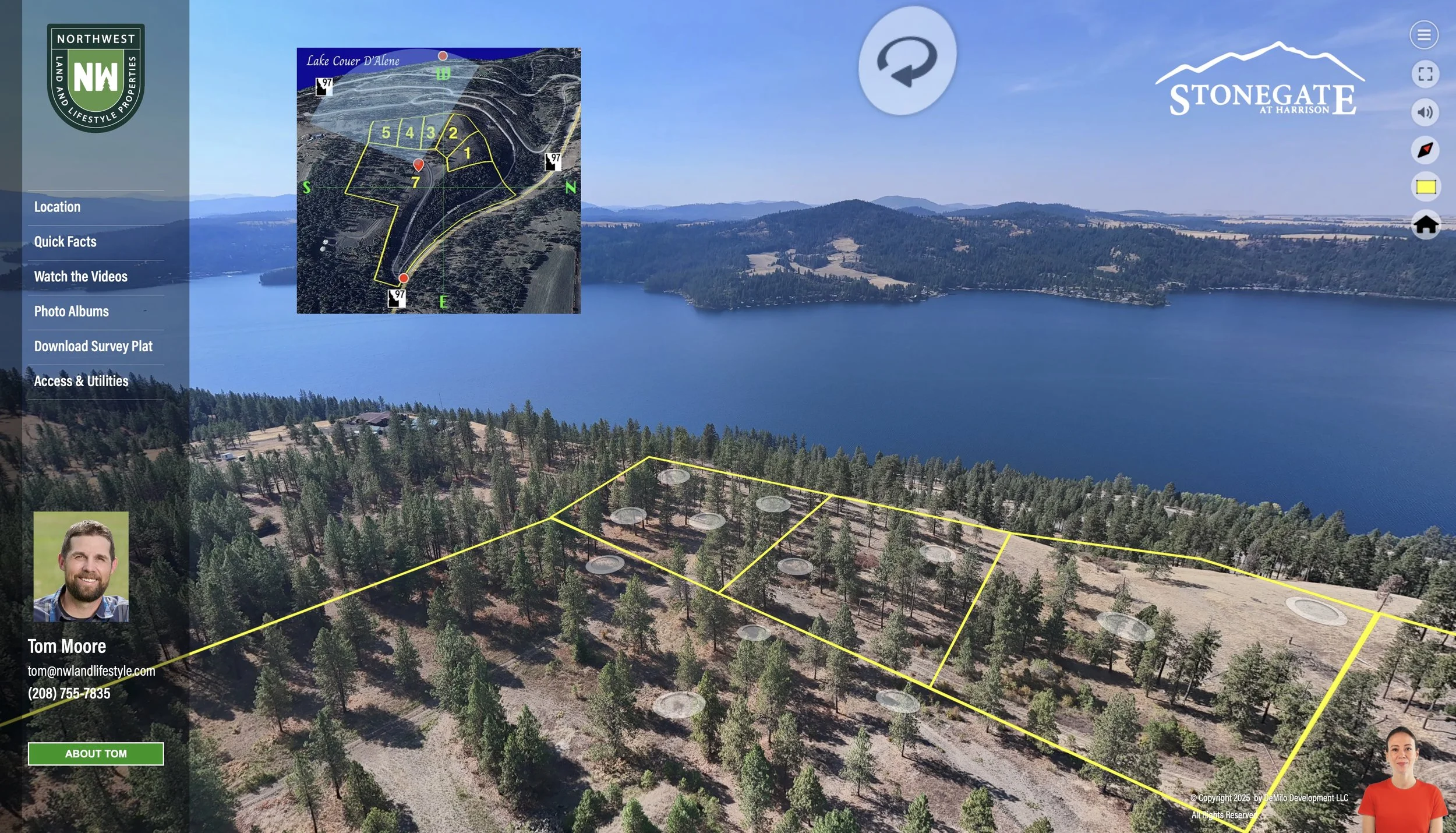
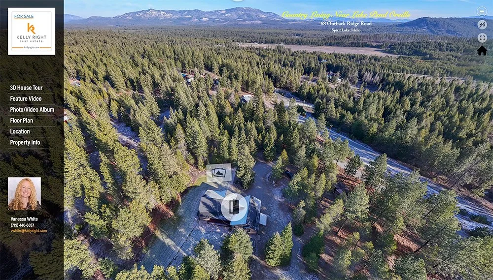
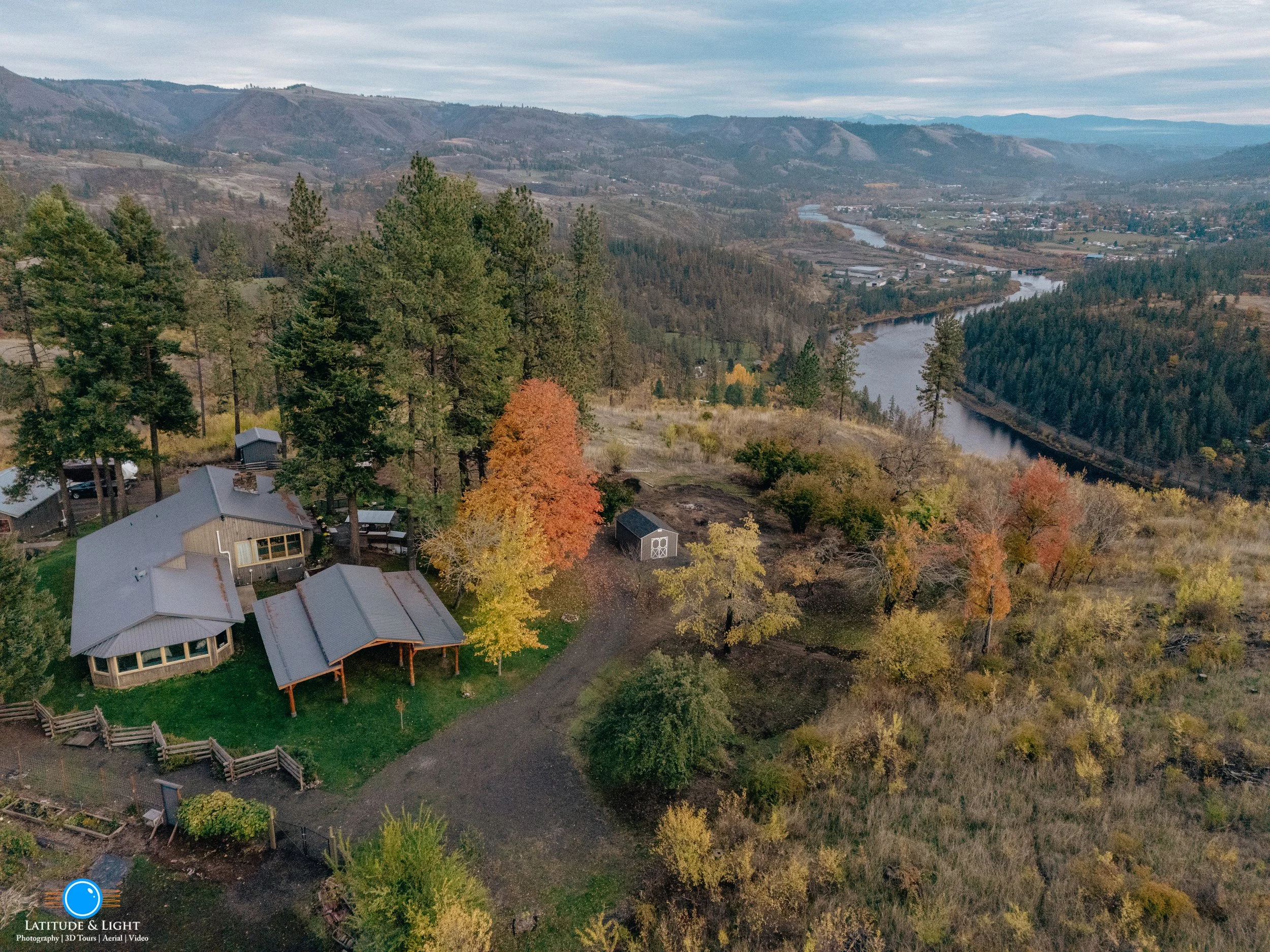
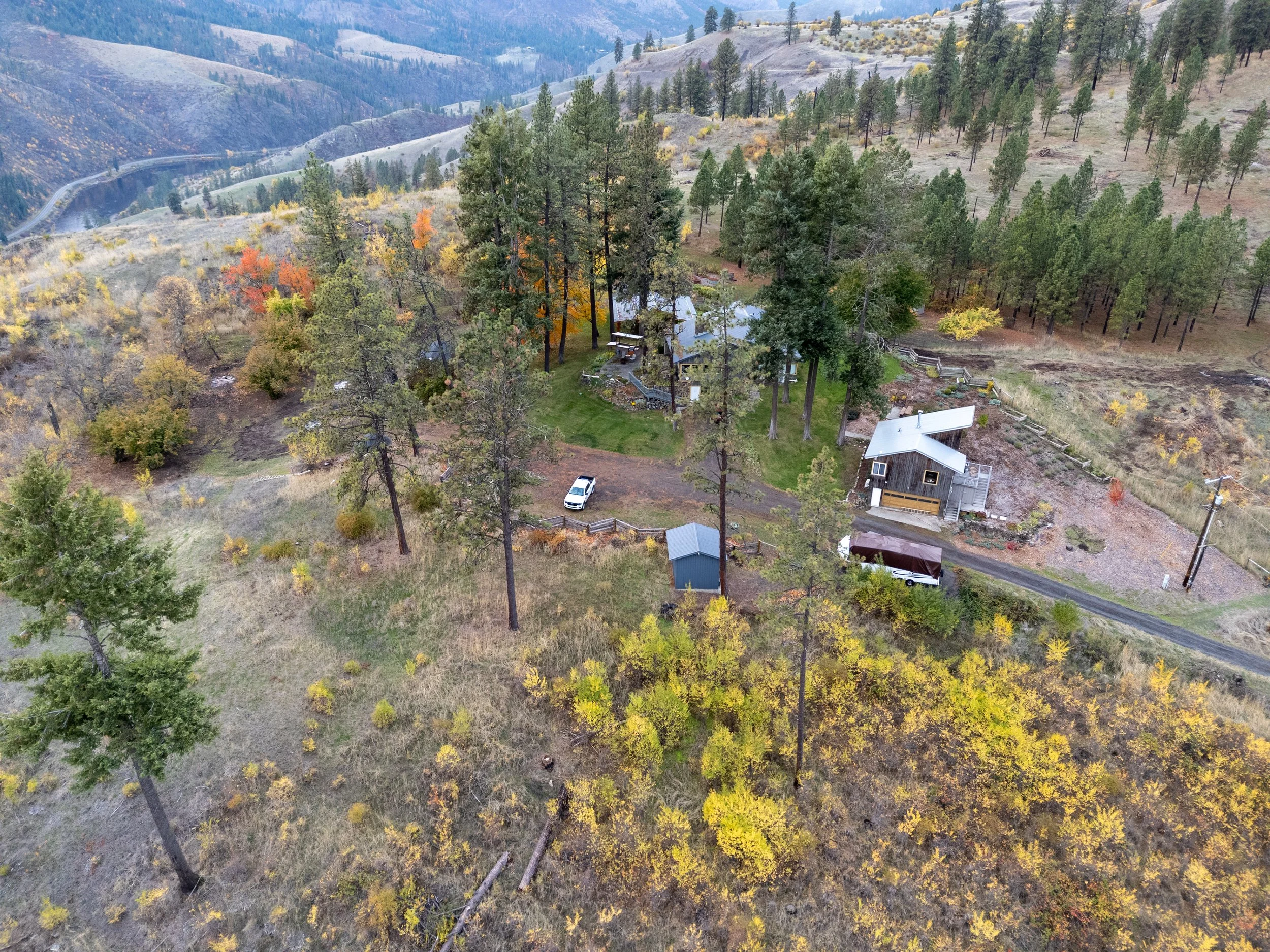
LandVision360 is our own platform for creating a tour-centered web site for ranch, estate and acreage sales. Every one of our LandVision 360 projects tells a unique story. They are delivered as a dedicated web site for your property that features an interactive 3D tour from the sky to locations on the ground, with critical features and property facts embedded in the tour experience. Every LandVision tour includes:
More intuitive and engaging than commercial virtual tour products
A series of linked, interactive 3D aerial panoramas covering the entire parcel
Aerial video and photography of the parcel, and territorial views from the parcel
Property lines placed visibly on the landscape within the 3D tour experience
3D virtual tours of buildings on the land.
Landscape photography and photos of important parcel features (power and water access, septic resources, access roads, etc.)
Custom video pieces that showcase the location and nearby community
Google 3D Earth plats, animated and with narration to explain the topography and region
Downloadable plat, surveys or other technical documents you wish to share with potential buyers
Branded and MLS-compliant versions of the tour. Branded view includes any biographical content content and media you provide.
Contact us for a quote. LandVision360 pricing varies based on the acreage covered, the number of structures scanned and amount of video production required. Typical projects range from $650 to $1200.
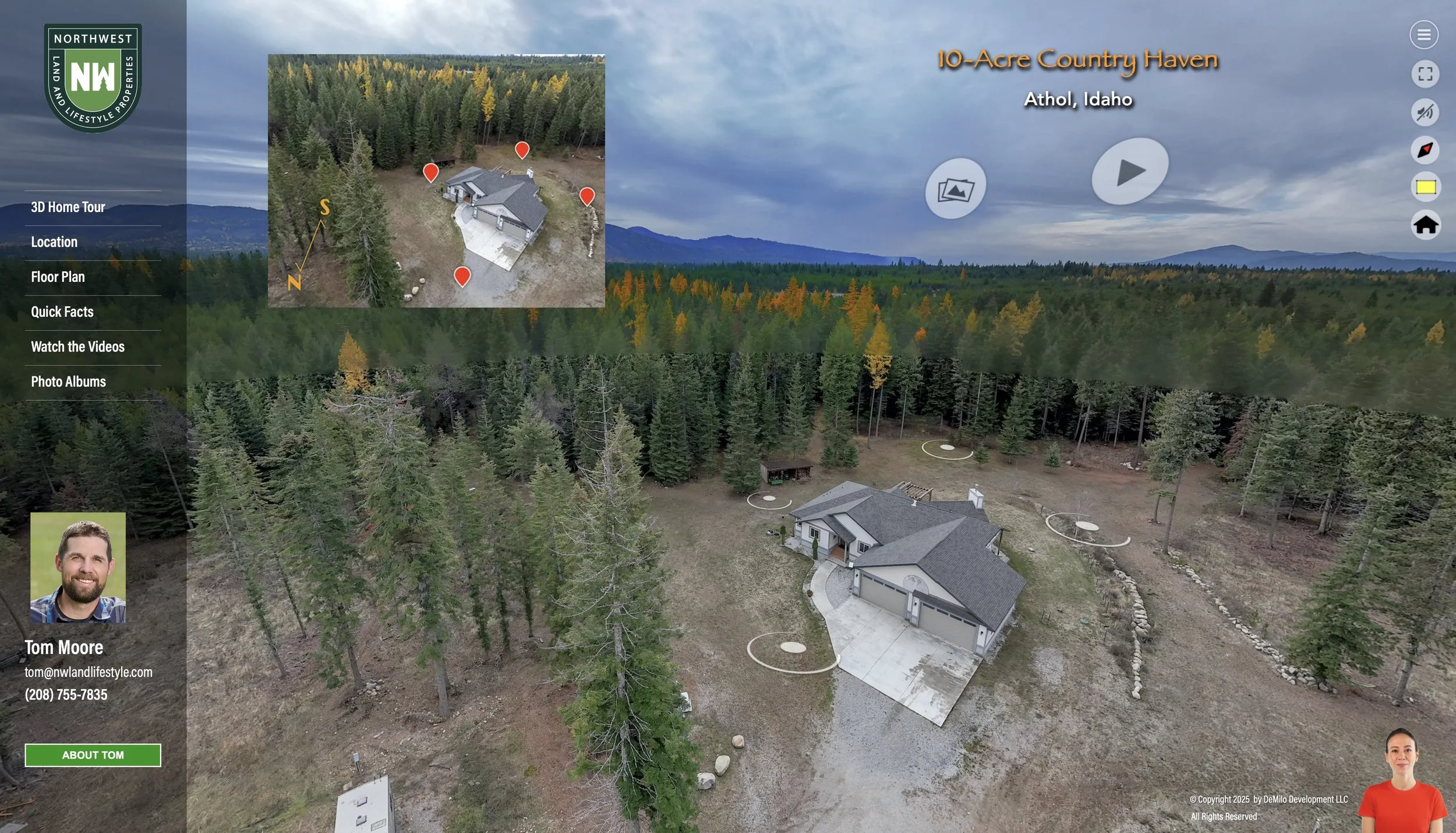
LandVision360 for Homes is our own platform for creating a tour-centered web site for ranches and other homes with substantial land. Every one of our LandVision 360 projects tells a unique story. It creates a web site for your property that features an interactive 3D tour from the sky to locations on the ground, with critical features and property facts embedded in the tour experience. Every LandVision tour includes:
A series of linked, interactive 3D aerial panoramas covering the entire parcel
Aerial video and photography of the parcel, and territorial views from the parcel
Matterport 3D virtual tours buildings on the land positioned inside the tour
Landscape photography and photos of important parcel features (power and water access, septic resources, access roads, etc.)
Custom video pieces that showcase the location and nearby community
Short video describing amenities and community features
Downloadable plat, surveys or other technical documents you wish to share with potential buyers
Branded and MLS-compliant versions of the tour
LandVision home pricing varies based on the number of buildings scanned and amount of video production required. Call us to discuss your project and we’ll be happy provide a quote. Typical projects range from $650 to $750..
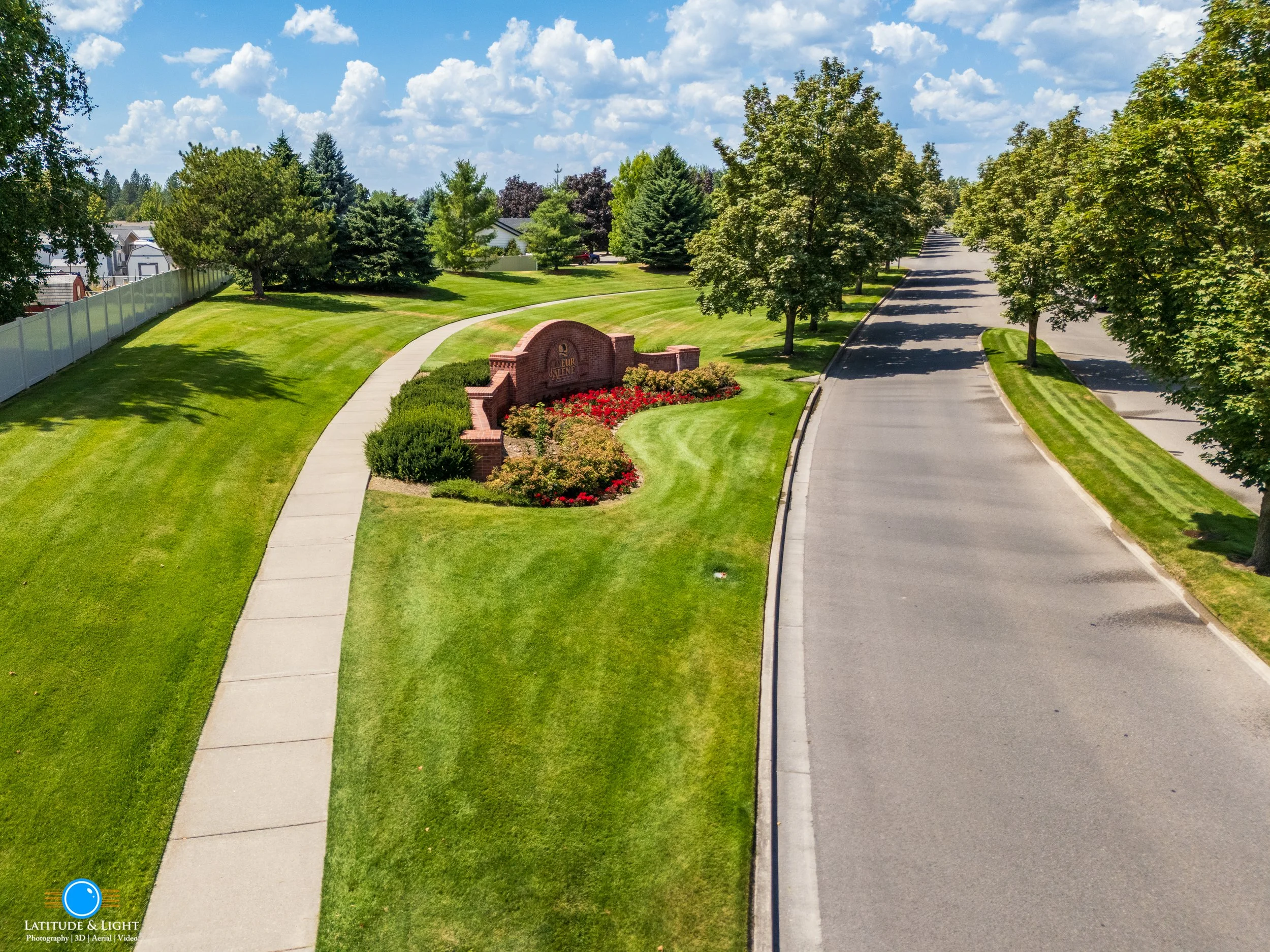
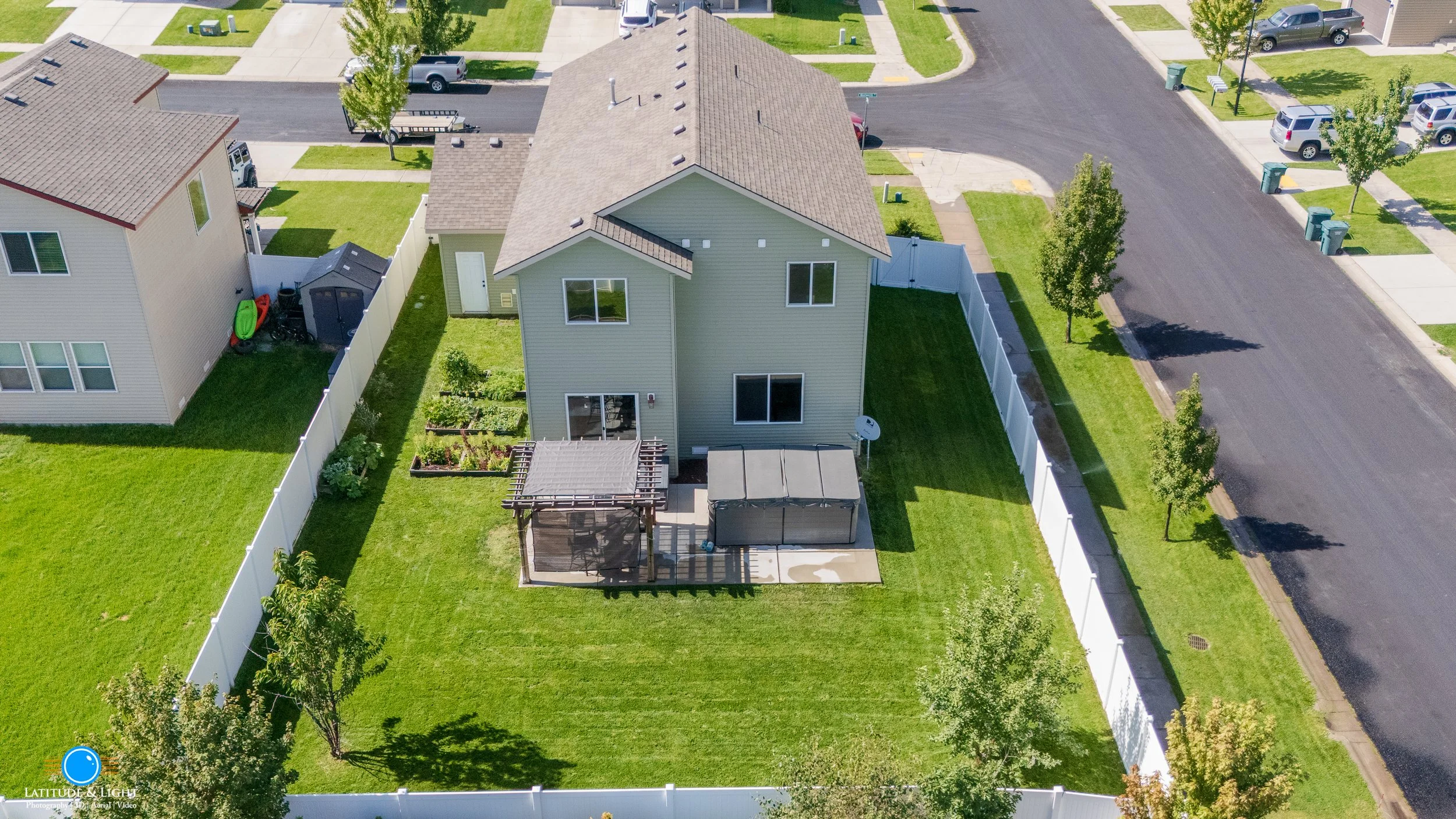


For residential and commercial property and land, presentation we produce complete cinematic aerial coverage of any building or land parcel up to 10 acres with stills and video from different altitudes.
Dozens of still photos
Video coverage includes flyover, circling and territorial views
Still and video views of neighboring landmarks (parks and playgrounds, subdivision monuments, shopping)
Post production services include color grading and clip editing
We’ll compose and edit a soundtracked 1-3 minute 1080 or 4K video montage of the best footage, mixed with still photos if available
Clips and composed video delivered as MP4 source files usable on YouTube, Facebook, Instagram and playable on Smart TVs at full resolution.
Video can also be produced for use as a social media reel (YouTube Short) with portrait orientation.
Watch >
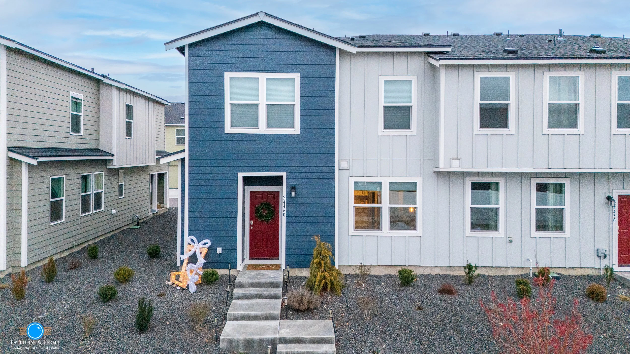
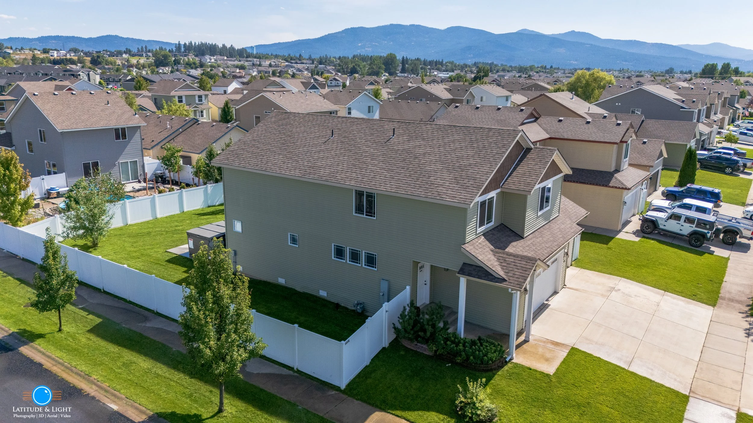
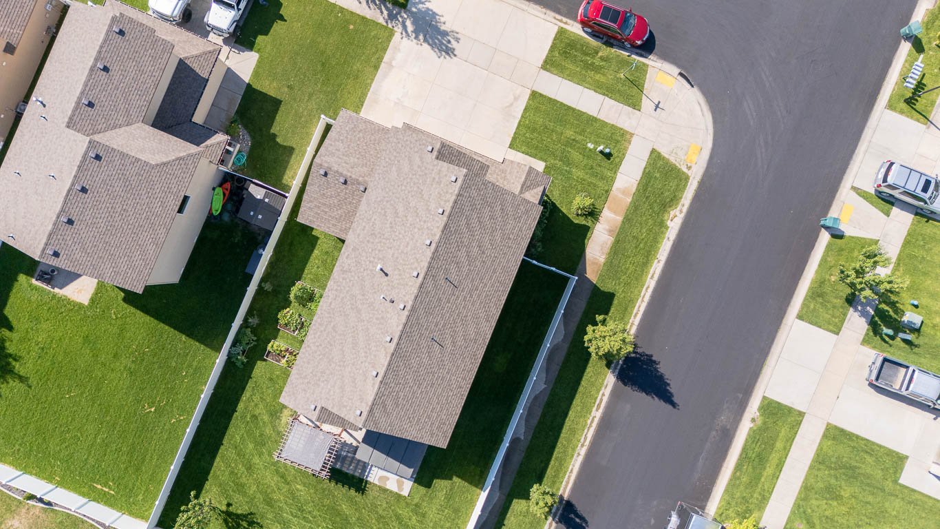
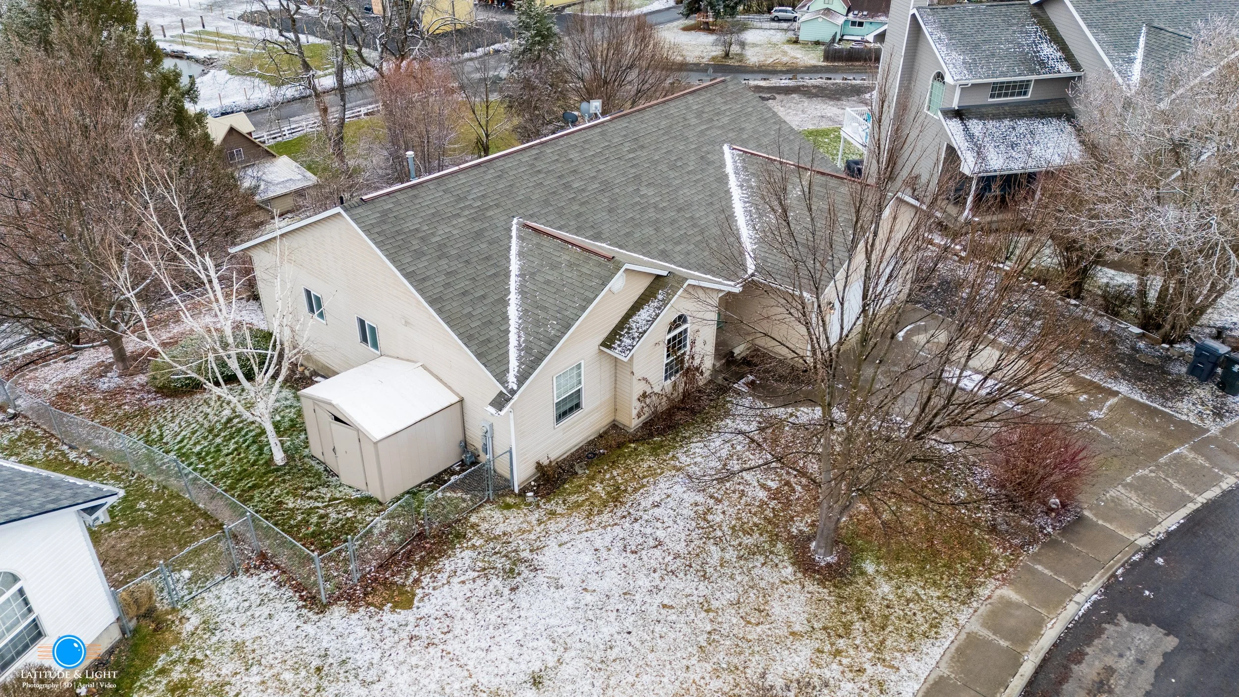
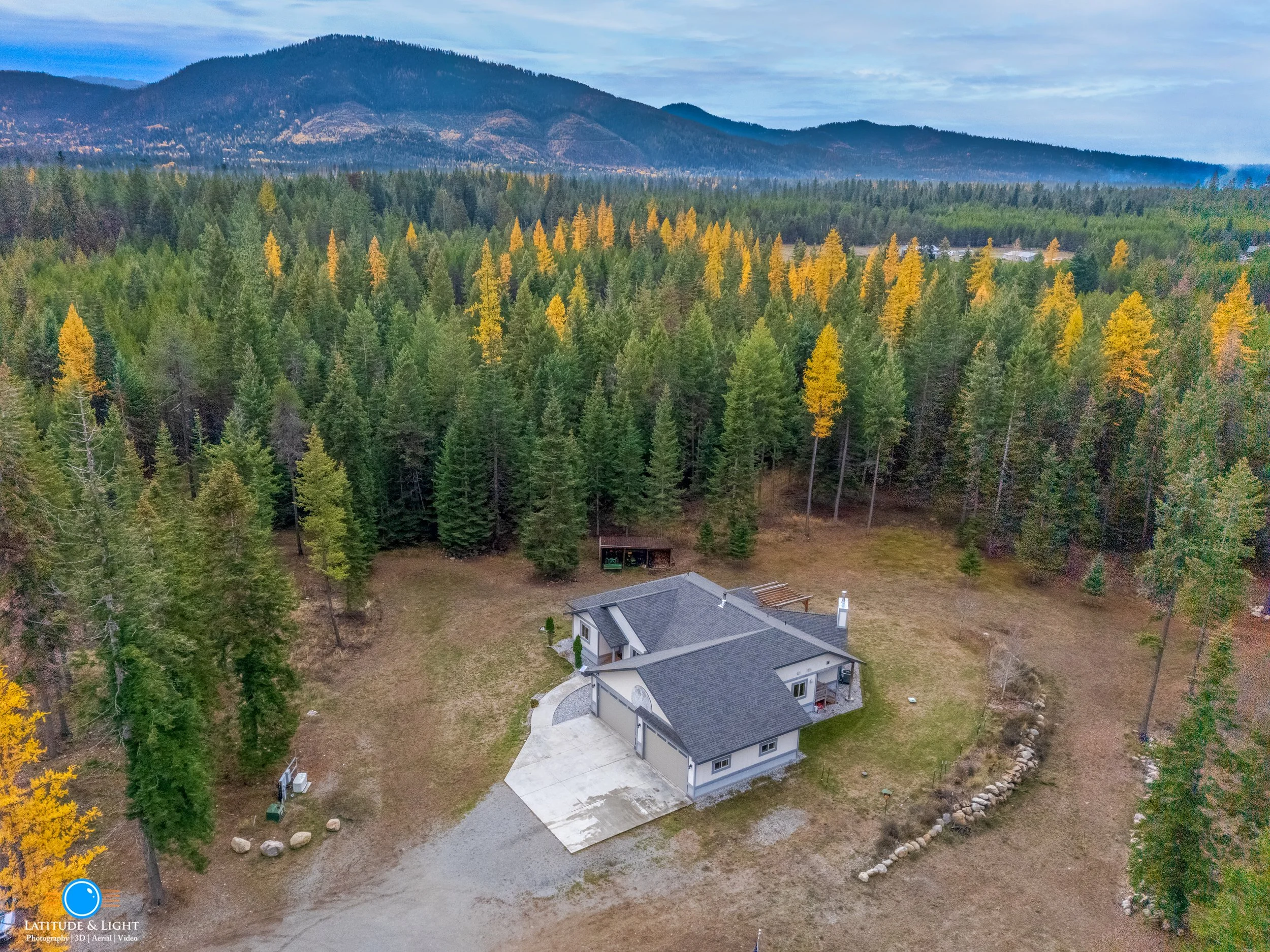
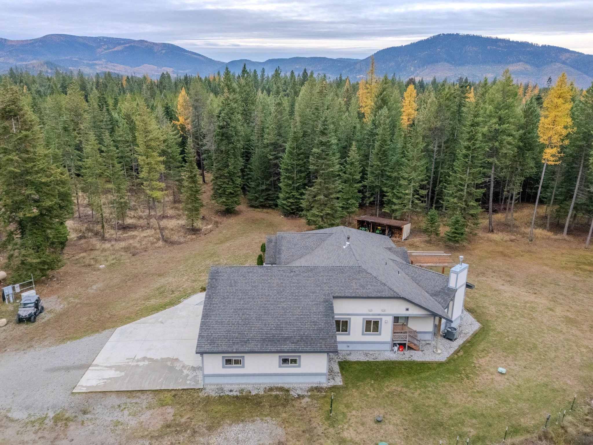
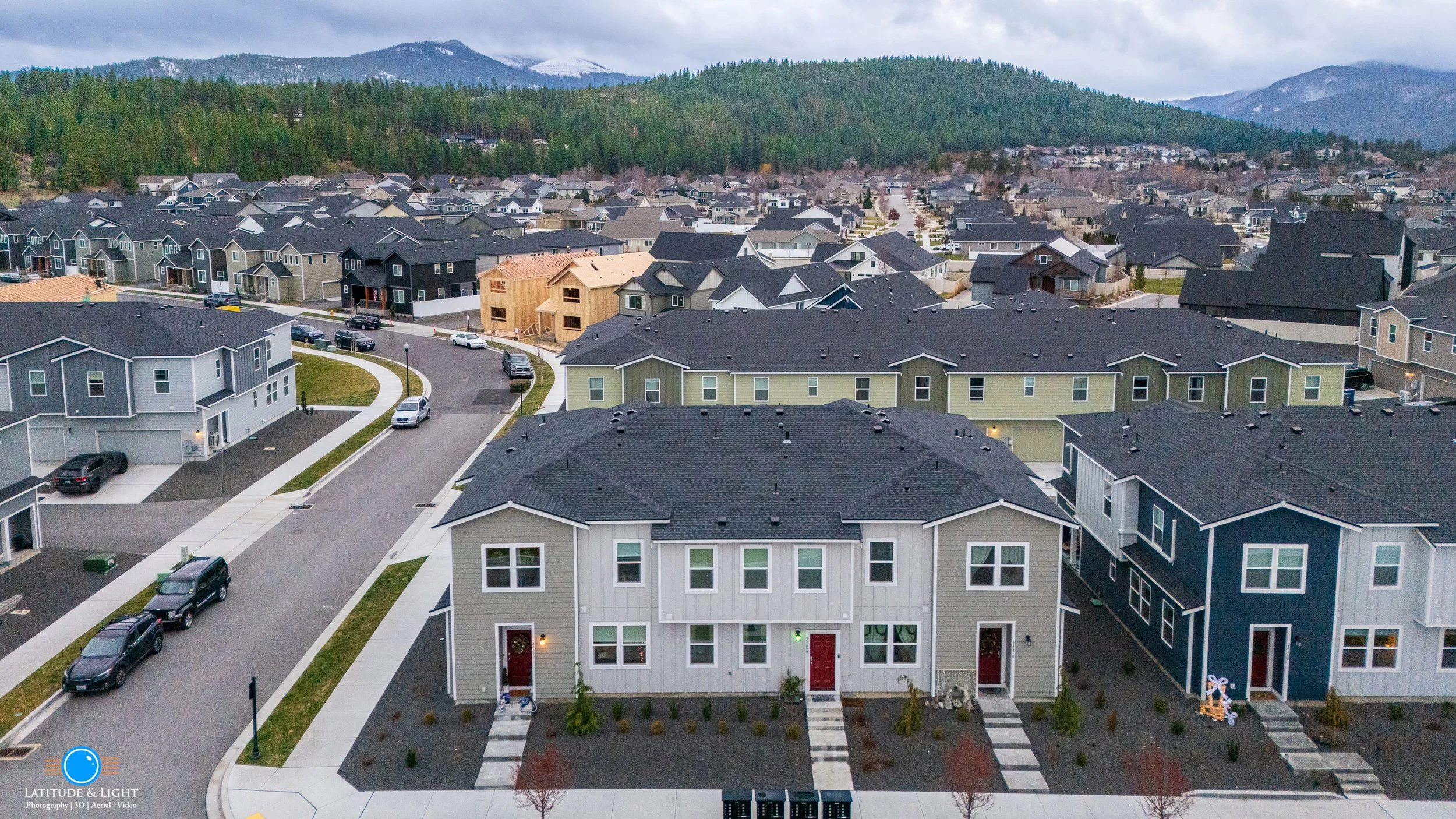
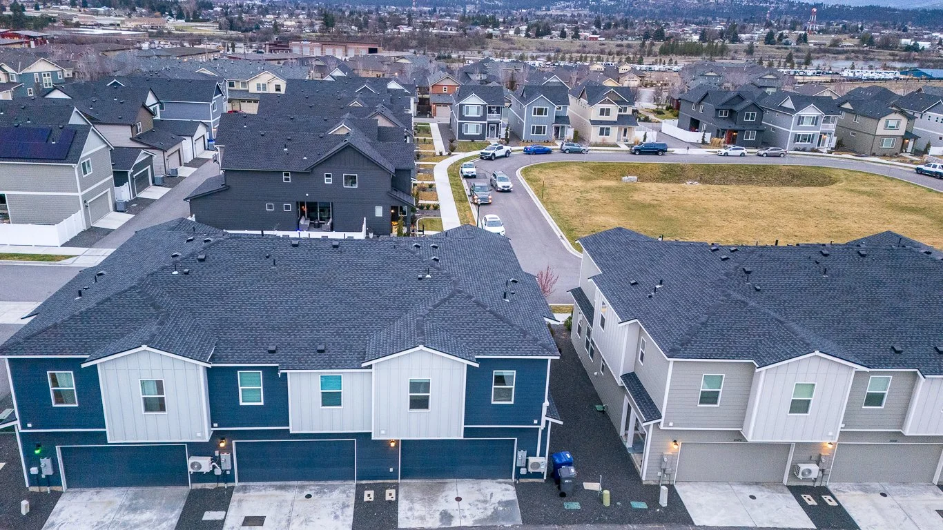
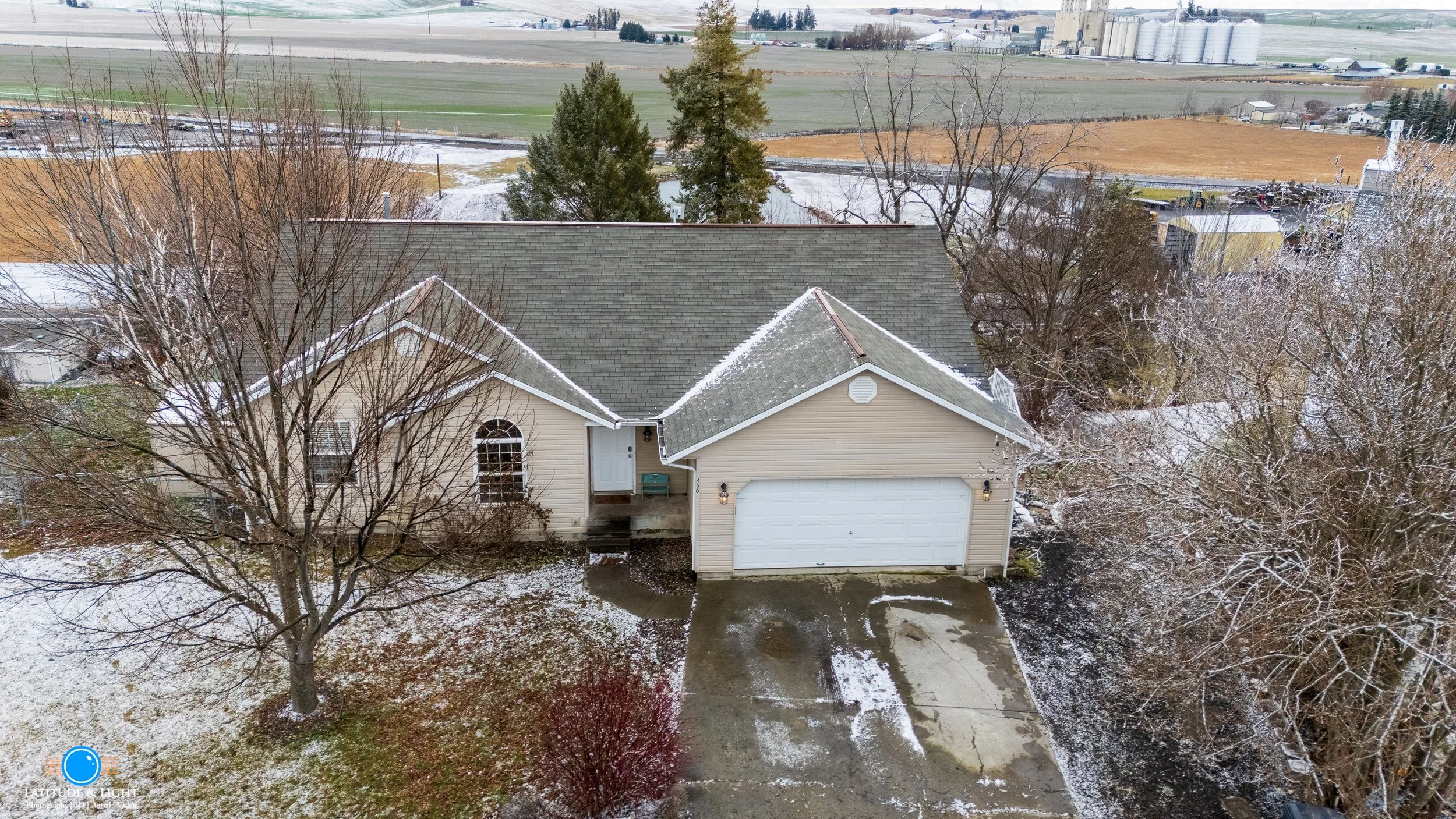
Aeral stills of residential homes produced by our high resolution (100 MP) drone cameras. Usually requires 1-2 hours on site.
We capture all accessible angles of a building at various altitudes, as well as neighborhood and territorial views to give the buyer a better understanding of location.
Selected aerial photos will be used to create a soundtracked slideshow for the buyer - and if ordered as part of one of our flat rate packages, mixed in with interior and exterior shots.
For video, see our flat rate Aerial Media flat rate package.
We are FAA Part 107 licensed UAS pilots and insured for operating in permitted air space.
No results match your search. Try removing a few filters.
